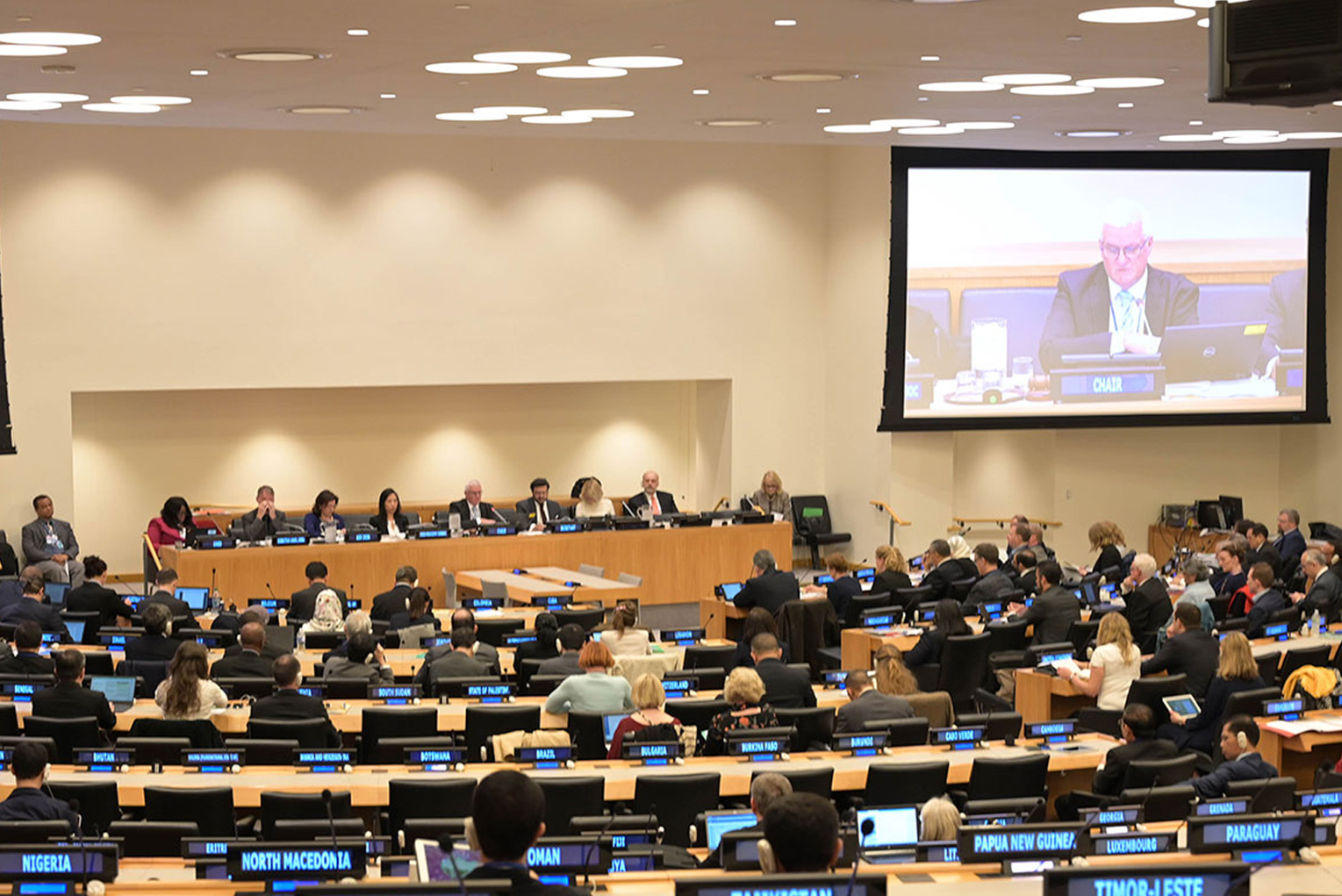
Experts from States
Committee of Experts on Global Geospatial Information Management (UN-GGIM)

The United Nations Committee of Experts on Global Geospatial Information Management (UN-GGIM) plays a leading role in setting the agenda for the development of global geospatial information and promoting its use to address key global challenges. It provides a forum to liaise and coordinate among Member States, and between Member States and international organizations, academia, the private sector, and geographic societies.
On 27 July 2011, the Economic and Social Council recognized the need to promote international cooperation in the field of global geospatial information and established the Committee of Experts on Global Geospatial Information Management (UN-GGIM, ECOSOC Resolution 2011/24). In its Terms of Reference, the Committee is comprised of experts from all Member States, as well as experts from international organizations as observers. On 27 July 2016, following a year-long consultative process on the comprehensive review of the work and operations of the Committee of Experts, ECOSOC adopted a resolution entitled "Strengthening institutional arrangements on geospatial information management" (Resolution 2016/27). The resolution broadens and strengthens the mandate of the Committee of Experts as the relevant body on geospatial information consisting of government experts, and to report on all matters relating to geography, geospatial information and related topics.
ECOSOC established the Committee of Experts as the apex intergovernmental mechanism for making joint decisions and setting directions regarding the production, availability and application of geospatial information within national, regional, and global policy frameworks. Led by Member States, the Committee aims to address global challenges regarding the use of geospatial information, including in development agendas, and to serve as a body for global policymaking in the field of geospatial information management.
The Committee is supported by its Secretariat, composed by the Statistics Division of the Department of Economic and Social Affairs and the Geospatial Information Section (formerly Cartographic Section) of the Office of Information and Communications Technology. Further information on its work and proceedings is available at UN-GGIM.
Group of Experts on Geographical Names (UNGEGN)

The United Nations Group of Experts on Geographical Names promotes the importance of standardization of geographical names at international and national levels. Standardized geographical names are critical for legal perspectives, administrative and reliable identification and directions to a place.
The Economic and Social Council, in its resolution 715 A (XXVII) of 23 April 1959, requested the Secretary-General to set up a small group of consultants to consider the technical problems of domestic standardization of geographical names, including the preparation of a statement of the general and regional problems involved, to prepare draft recommendations for the procedures, principally linguistic, that might be followed in the standardization of their own names by individual countries and to report to the Council on the desirability of holding an international conference on this subject and of the sponsoring of working groups based on common linguistic systems. The First United Nations Conference on the Standardization of Geographical Names (UNCSGN) was held at Geneva from 4 to 22 September 1967. On the basis of the recommendations of the Conference, the Council, in its resolution 1314 (XLVI) of 31 May 1968, approved the terms of reference for the Ad Hoc Group of Experts, which was renamed the “United Nations Group of Experts on Geographical Names” by a Council decision of 4 May 1973. At the 11th UNCSGN in August 2017, the Conference decided that the UNCSGN and the UNGEGN be discontinued in their current formats and be subsumed by a subsidiary body of ECOSOC that will retain their respective mandates, and that the UNGEGN will convene biennial sessions, in principle, over a period of five days, beginning in 2019. The creation of the "new" UNGEGN was approved on 10 November 2017 in ECOSOC resolution 2018/2.
UNGEGN plays an active role in facilitating the establishment of principles, policies and methods for establishing and promoting the standardization of geographical names. UNGEGN promotes the recording of locally-used names reflecting the languages and traditions of a country. UNGEGN's goal is for every country to determine its own nationally standardized names through the creation of national names authorities or recognized administrative processes. Geographical names (toponyms) are “more than just mere labels on a map. The topic of geographical names is far reaching and brings together elements of geography, history, cartography, language, culture, oral tradition, psychology, politics and much more” (Helen Kerfoot, former Convener of UNGEGN, 2009).
Principles and recommendations from UNGEGN are reflected in the maps and geospatial services developed and provided for the United Nations Secretariat. The Group of Experts is supported by its Secretariat, the Statistics Division of the Department of Economic and Social Affairs. Further information on its work and proceedings is available at UNGEGN.
Committee on Cartography (closed in 1949)

In 1948, the Economic and Social Council in resolution 131(VI) recommended that Governments of Member States stimulate surveying and mapping of their national territories and that the Secretary-General of the United Nations take appropriate action to further such efforts. A Committee of Experts on Cartography was appointed by the Secretary-General to study the problem and advise upon the means of its implementation.
The Committee sought to answer two questions: what should the United Nations do to stimulate and assist Member States in the development of the mapping sciences, and what sort of cartographic service did the United Nations need to carry out this program, for its own operations and in its relations with the Specialized Agencies. As a result of the work and recommendations of the Committee two parallel streams were set up within the Organization: a cartography office was established under Conference Services to support the operations and mandates of the Organization; and the convening of regional cartographic conferences was initiated as the first regional conference in Asia and the Far East took place in 1954. The regional conferences for the Americas and Asia and the Pacific were successful throughout, before being combined in 2015 into the overall proceedings of UN-GGIM.
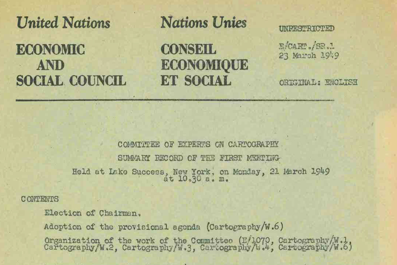
Committee of Experts on Cartography, Summary Record of Meetings:
E/CART/SR.1 English
E/CART/SR.2 English [N/A] and French
E/CART/SR.3 English and French
E/CART/SR.4 English [N/A] and French
E/CART/SR.5 English
E/CART/SR.6 English [N/A] and French
E/CART/SR.7 English
E/CART/SR.8 Not available
E/CART/SR.9 English

