Secretariat services
Geospatial services
Geospatial services provided to the Secretariat, and upon request to Agencies, Funds and Programmes, include:
 Cartography and geovisualization
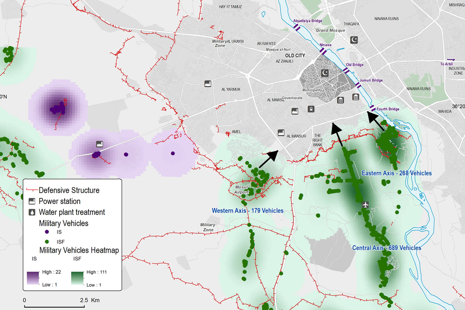
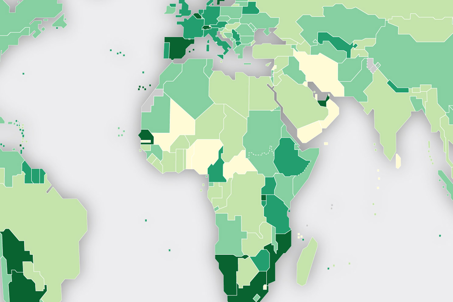
Mapping and custom cartographic services are provided for official publications, online web-maps, custom thematic cartography, wall displays, professional topographic line maps, map series , treaty maps, custom iconography, data geovisualization and dashboards. Consult our current general map collection or thematic products..
 Geodata management
Management and architecture of geospatial databases services include the collection, creation, design, modelling, hosting, production, processing and sharing of geospatial data components for the effective publications of routing, navigation and search functionalities.
 Earth observation and imagery
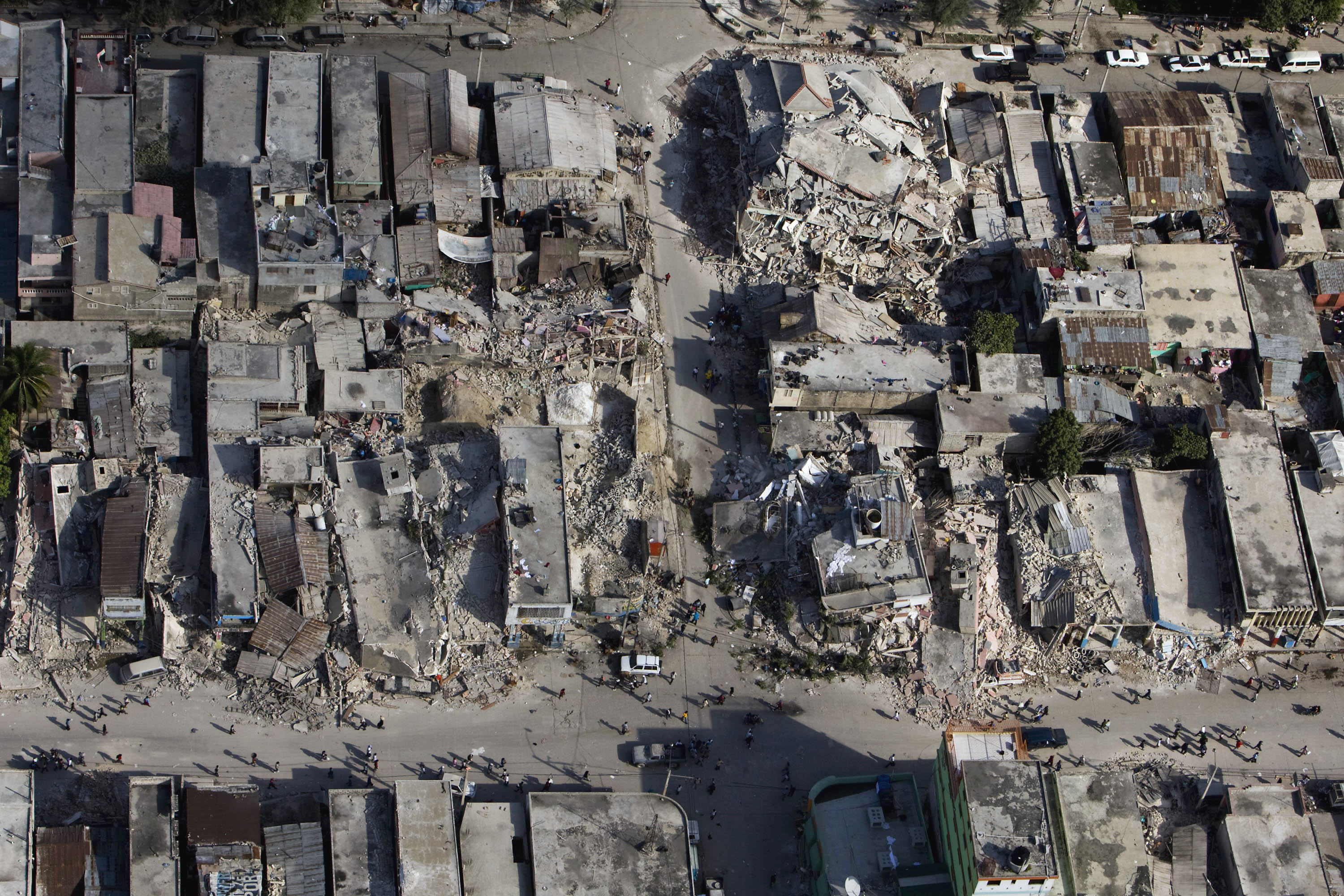
Acquisition and use of earth observation data and imagery services relate to the collection, purchasing, processing, analysis, enhancements and dissemination of remotely sensed data for enhances awareness, situation monitoring and analysis, Earth observation is used to support the delivery and monitoring of the mandates of the United Nations..
 Advanced analytics and intelligence
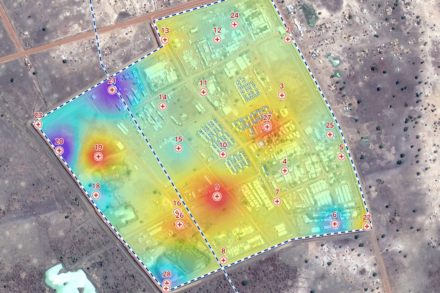
Advanced analytics and geospatial intelligence services use latest tools and technics including traditional imagery interpretation, change detection, machine learning and artificial intelligence for deriving information for decision-making.
 Geo-webservices and mobile solutions
The development and provision of geo-webservices and mobile solutions services include the maintenance of server platforms, preparation of web-services, development of applications, customization of online tools for user interface, the management of content privileges and security of applications..
 Geospatial guidance and secretariat
Geospatial guidance and secretariat services include the implementation of policies on geospatial and cartographic matters for the Secretariat (see Guidelines for the Publication of Maps), map permissions authorization (see Map permissions), and Co-Secretariat services to UN-GGIM.


