Thematic areas
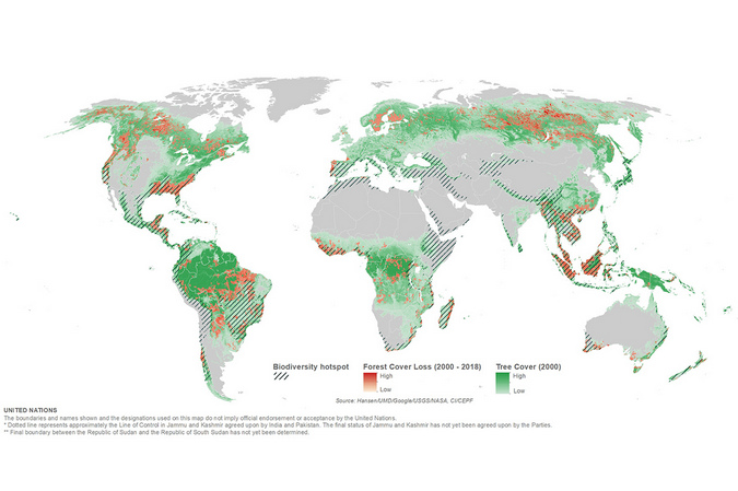 Geospatial information, and geography, is a cross-cutting field that can support virtually all mandates and work areas of the Organization by providing insights on where things are happening as well as forecasting and trend analysis. Global phenomenon such as climate change, global pandemic, worldwide population growth, economic recovery or social inequalities can be better understood through geospatial information. Location information improves knowledge, supports decision-making, targeted programmes for improving the lives of people and for preserving our planet across countries and regions. Geospatial information is a key asset for the United Nations for measuring and monitoring of the Sustainable Development Goals of the 2030 Agenda for Sustainable Development. It is also critical for the field operations to maintain peace and security.
Geo-enabled thematic information, integration with statistics, spatial analytics, and related geo-visualization helps us to understand the relationships between seemingly unconnected phenomenon. Using location information and a variety of tools, methods, algorithms, data science and visualization helps uncovers patterns and trends. This improves predictive modeling and gives us insight into events for better decision-making and to act for our world.
Sustainable development
 The 2030 Agenda for Sustainable Development, adopted by all United Nations Member States in 2015, provides a shared blueprint for peace and prosperity for people and the planet, now and into the future. At its heart are the 17 Sustainable Development Goals (SDGs), which are an urgent call for action by all countries - developed and developing - in a global partnership. Integrating geospatial information and statistical data on the Sustainable Development Goals enables to unlock insights on the advancements of each targets, reveal global spatial patterns, understand the interactions between people and the planet, highlight inequalities, and raise awareness to the path work that still lies ahead.
The United Nations and the International Cartographic Association delivered a publication entitled “Mapping for A Sustainable World” (web version) (print version) to share good practices in cartography in relation to the SDGs. The United Nations further developed cartography on the theme "Mapping 17 Sustainable Development Goals in 2021, 2022 and 2023 with advocacy maps for each of the Sustainable Development Goals to further raise awareness on these global priorities. The book and maps provide guidance to map the official SDG indicators, and beyond from reputable data source, and to provide insights and highlights on latest global trends on social, economic and environmental challenges our world faces. M49 standard by UN Statistics Division is adopted to aggregate and disaggregate statistical values and the geographical groupings includes, Regions, Sub-regions, and Intermediate regions.
SDG Maps 2023
SDG Maps 2022
SDG Maps 2021
Peace operations and special political missions deployment
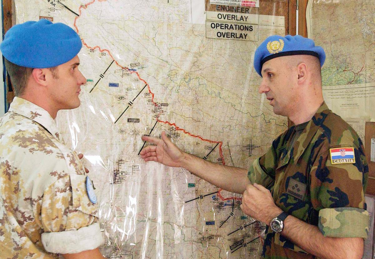 Deployment maps were institutionalized and standardized in the early 1990s but were available in some missions much earlier, sometimes only as transparent overlays on topographic maps. These thematic maps are some of our most popular products and are routinely referred to during proceedings of the United Nations Security Council.
Economic Commissions around the World
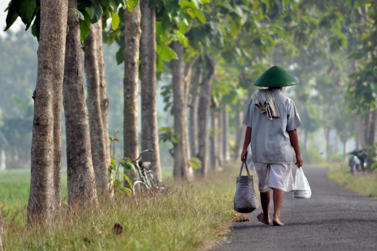 The Regional Commissions are the regional outposts of the United Nations and represent an integral part of the regional institutional landscape and of the Secretariat. Stationed in five regions of the world, Africa, Asia and the Pacific, Europe, Latin America and the Caribbean, and Western Asia. The regional commissions share the key objectives of aiming to support regional and sub-regional sustainable development by contributing to bridging economic, social and environment gaps, through the Sustainable Development Goals, among their member countries.
Electoral Assistance
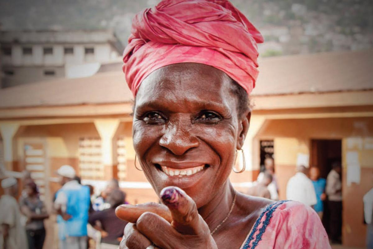 Elections are a vital part of democratic processes, including political transitions, implementation of peace agreements and consolidation of democracy. The United Nations plays a major role in providing international assistance to these processes in an objective, impartial, neutral and independent manner, with due respect for sovereignty, while recognizing that the responsibility for organizing elections lies with Member States. Further information is available on electoral assistance. Geospatial information and expertise are often used in the context of the electoral assistance to support electoral logistical planning and announcement of election results.
States and Territories that Received United Nations Electoral Assistance 2019
Human Rights
The Universal Declaration of Human Rights brought human rights into the realm of international law. Since then, the Organization has diligently protected human rights through legal instruments and on-the-ground activities.
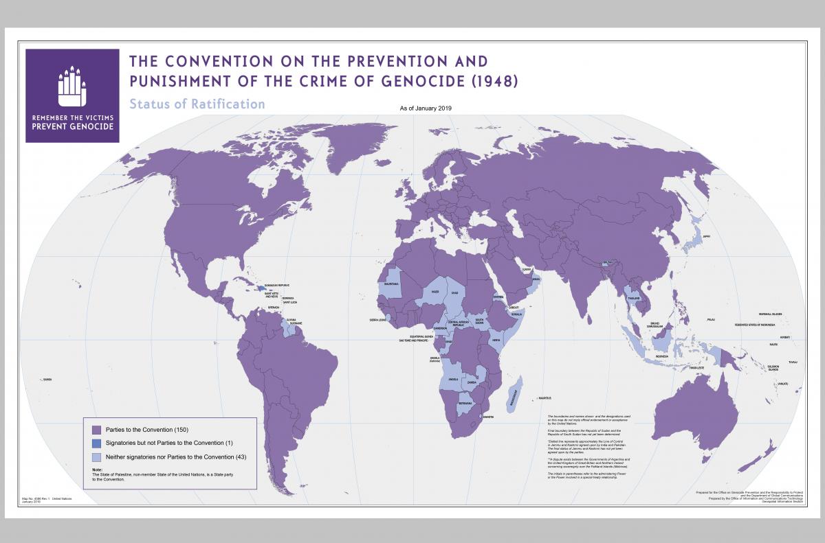
The United Nations have used cartography and mapping as a tool to communicate on the status of human rights and related violations worldwide. Geospatial information and imagery analysis are increasingly used as tools to collect, document, analyze and visualize evidence to ascertain human rights violations and atrocities.
Recent years, the Geospatial Information Section has been supporting the mapping for the Independent International Commission of Inquiry on the Syrian Arab Republic (Syria-COI). The Independent International Commission of Inquiry on the Syrian Arab Republic was established on 22 August 2011 by the Human Rights Council through resolution S-17/1. The mandate of the Commission is to investigate all alleged violations of international human rights law since March 2011 in the Syrian Arab Republic. You can find in the below the latest maps in their full resolution on this support including a list of mapping supports in the Syria-COI Human Rights Council Reports. More previous maps in full resolution can be found in the Archives by clicking “Human rights” in the Topic Filter.
Geospatial Information Section mapping support to Syria-COI reports
|
Report date |
Pages which include geospatial products |
Full report |
|
21/01/2021 |
From 22 to 31 (link) |
|
|
11/03/2021 |
From 28 to 32 (link) |
|
|
13/08/2021 |
Page 22 (link) |
|
|
08/02/2022 |
From 22 to 23 (link) |
|
|
17/08/2022 |
From 21 to 22 (link) |
|
|
07/02/2023 |
From 23 to 24 (link) |
|
|
14/08/2023 |
From 24 to 25 (link) |
|
|
09/02/2024 |
From 23 to 24 (link) |

